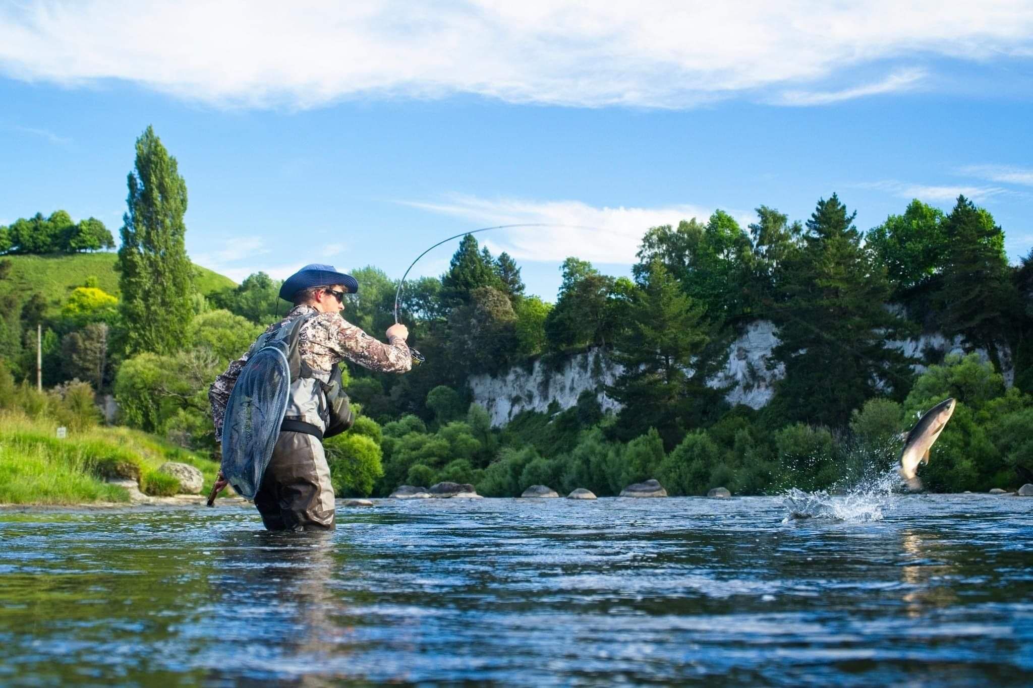
Guided Fishing Rivers
Some New Zealand Rivers and lakes are not always fishable during certain times of the year. Please contact us to check the closures and season.
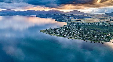
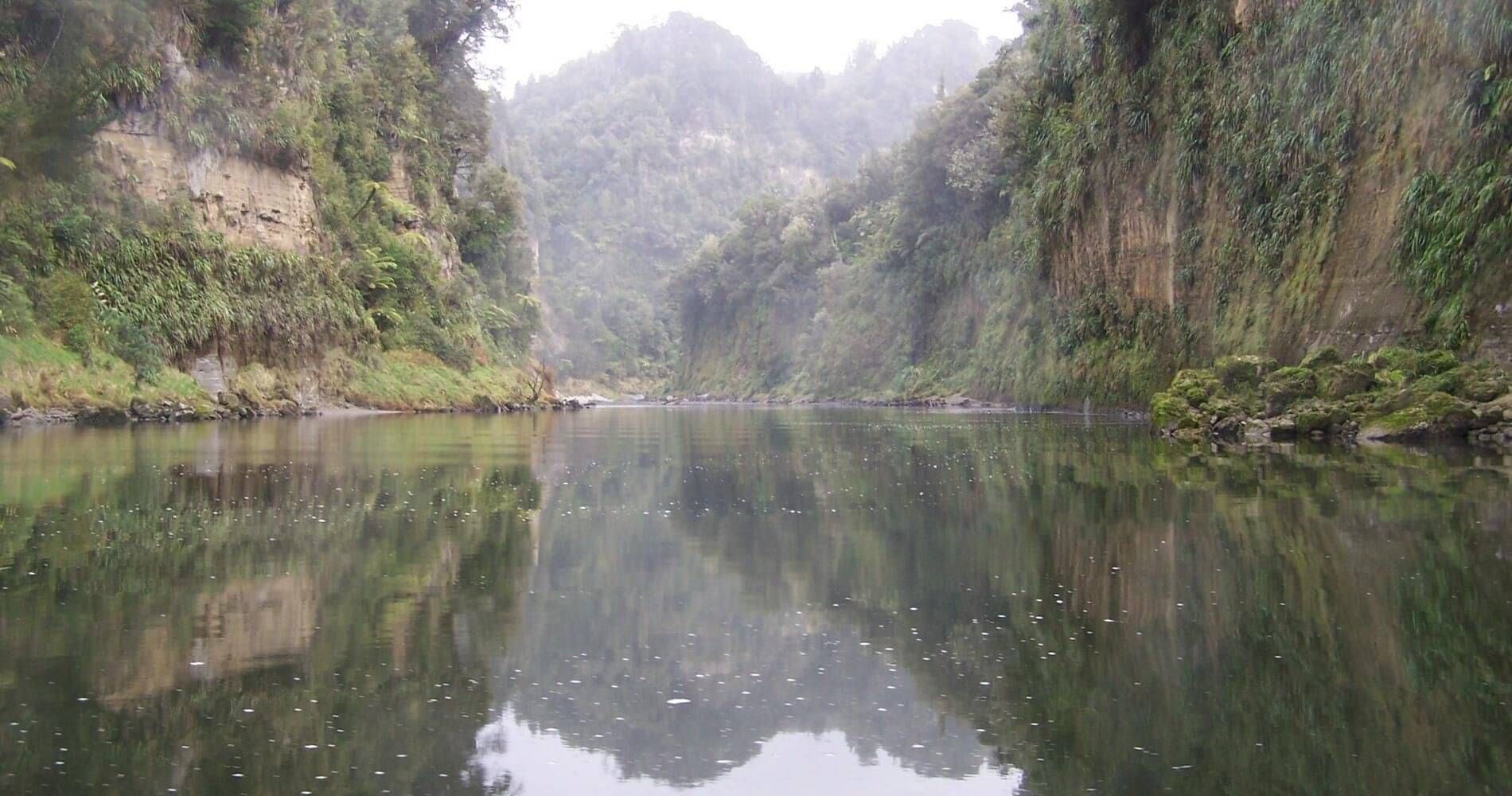
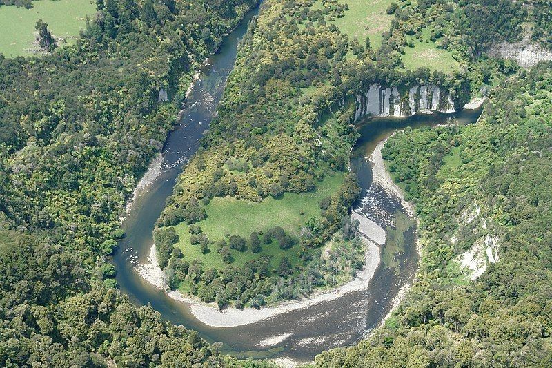
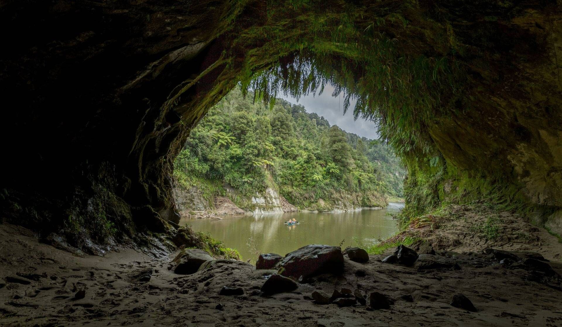
Whanganui River
The Whanganui River is one of the longest in the country. It is also the only river in New Zealand to be protected by an innovative bill that grants the river the same legal rights as a person. Roads follow both banks of the river for 15 km from Taumarunui. The river then enters inaccessible rugged bush country in the Whanganui National Park.
Further downstream there is road access at Whakahoro, Pipiriki, Jerusalem and the mouth in Wanganui. With plentiful amounts of both rainbow and brown trout the Whanganui river is a must fish river.
Source: Mount Tongariro
Length: 290 km
Mouth: Tasman Sea Whanganui Township
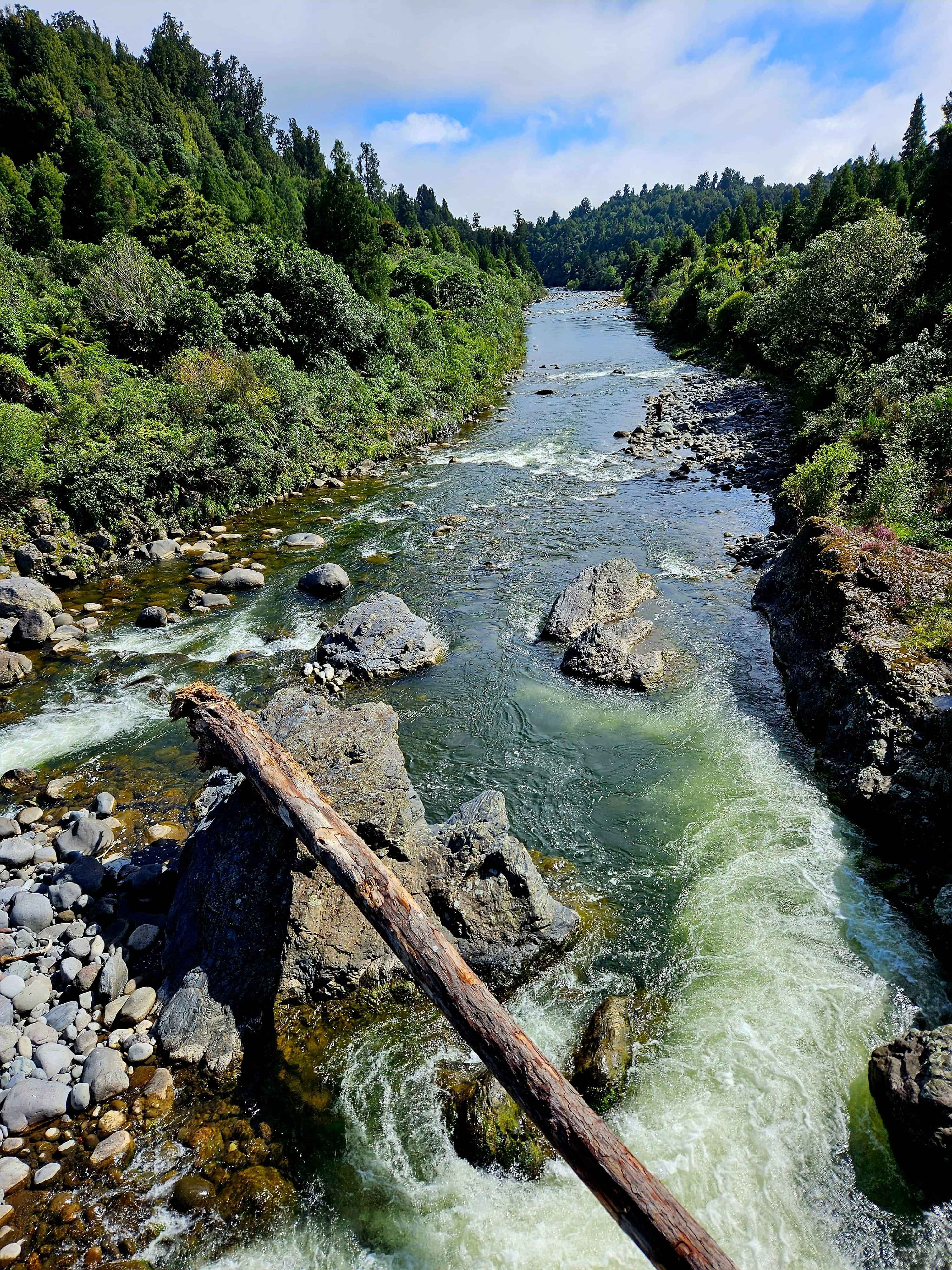
Whakapapa River
The Whakapapa River forms from streams which trickle off the Whakapapa skifields of Mount Ruapehu and down the western slopes of the mountain ranges. The river passes near Ōwhango, before finally merging with the Whanganui River just east of Kakahi. They merge 40 km (25 mi) from where it began, which is in a 100 m (330 ft) deep gorge, at the confluence of the Whakapapaiti and Whakapapanui Streams.
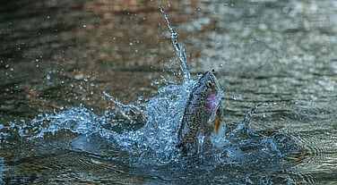
Because of the rivers origin it provides pristine, cold and clear waters. These conditions make for outstanding sight fishing. Where both the rainbows and browns can be huge.
Source: Mt Ruapehu
Length: 40 km
Mouth: Whanganui River
Retaruke River
The Retaruke river rises in the Central Plateau and flow westwards to join the Whanganui River in the remote Whanganui National Park (Whakahoro).
It is a small back country river that provides many kilometers of fishing for a good population of both rainbow and brown trout in the upper reaches. Generally the middle and lower reaches tend to be often discolored from the silt washed down from the high cliffs but still give reasonable spin fishing.
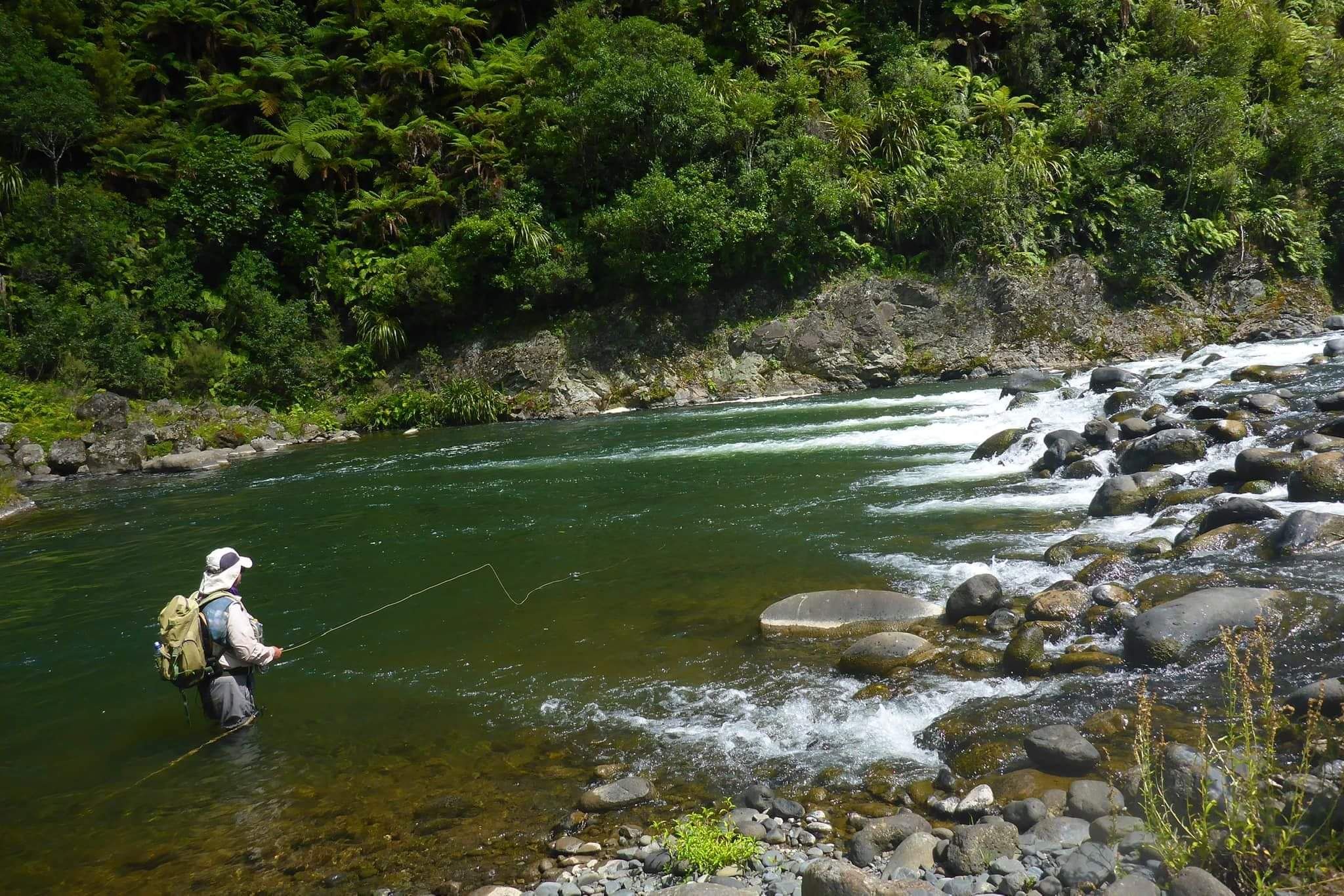
The stretch of the Retaruke River above the confluence with the Kaitieke Stream provides superb dry fly and nymph fishing in a remote back country setting where there are few obstructions to impede casting. Wading is easy and safe.
Source: Erua Forest
Length: 64km
Mouth: Whanganui River

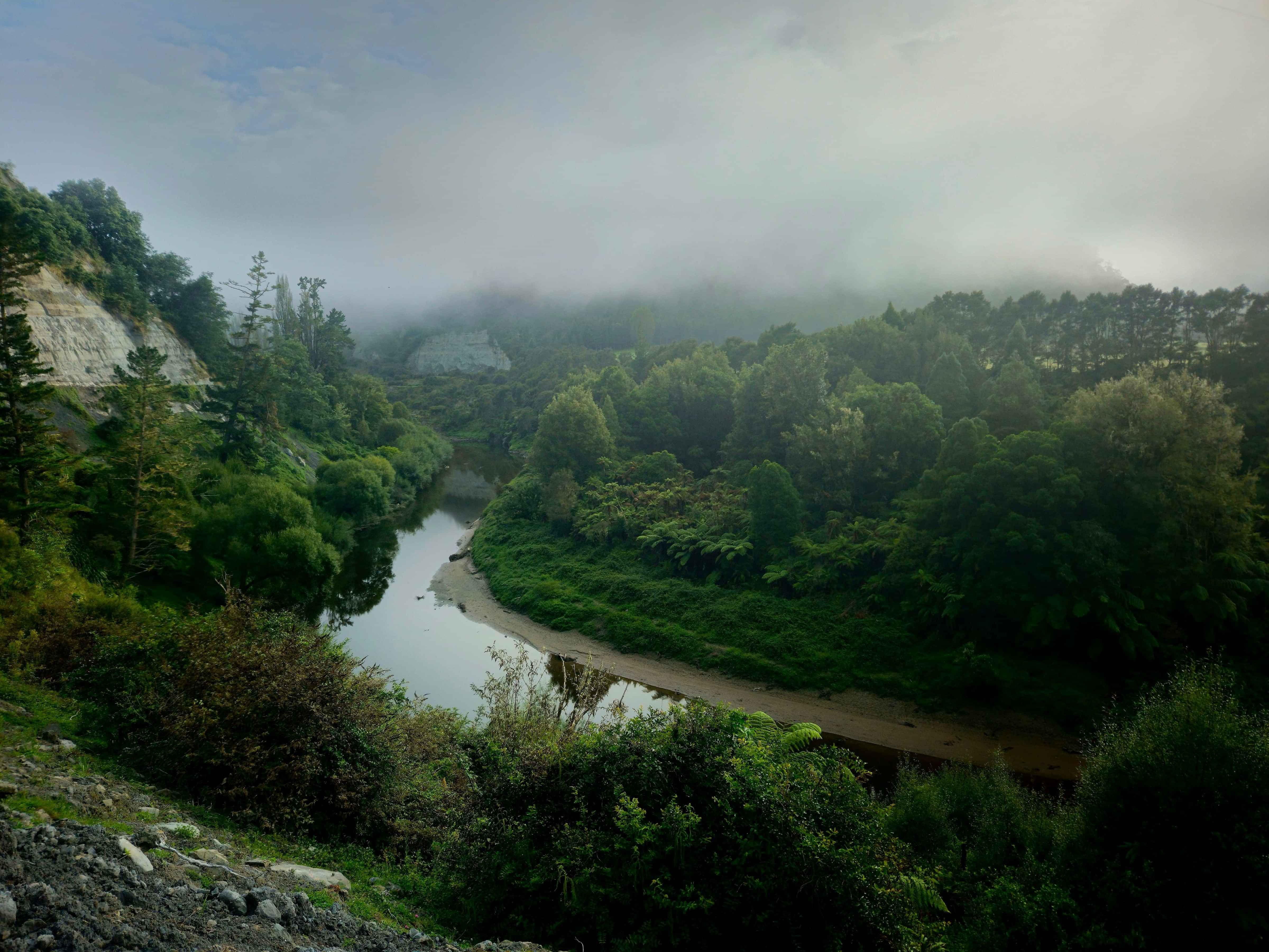
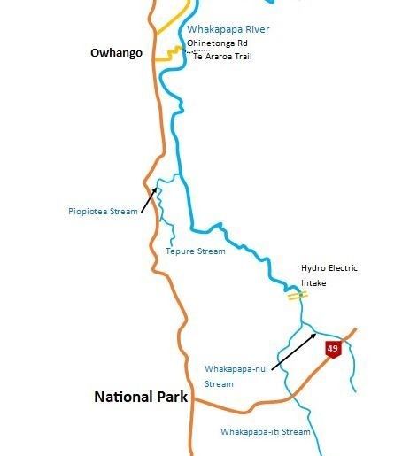
Piopiotea Stream
This Poipiotea Stream is a rocky/gravel based stream with plenty of rainbow and brown trout on offer. Good visibility and private access makes this tributary stream a very neat spot to fish.
Flowing into the Whakapapa river the clear cool waters flow through farmland and occasional bush area. Generally shallow the stream is perfect for wader fishing.
With fish generally larger in size there are some great challenges to be had in the Piopiotea. With very little obstructions on the banks there is some great sight fishing and plenty of room to cast.
The Piopiotea runs mainly parallel to State Highway 4 south of Owhango.
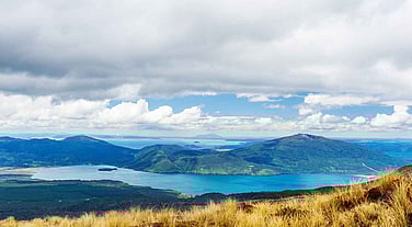
Manganui-o-te-ao River
The Manganuioteao River is located in the central area of New Zealand's North Island. It has its source in numerous streams and small rivers which flow west from the slopes of Mount Ruapehu, though the main course of the river flows predominantly southwest through rugged hill country to meet with the Whanganui River 10 kilometers (6 mi) north of Pipiriki, at the edge of the Whanganui National Park.
The New Zealand Ministry for Culture and Heritage gives a translation of "great stream of the world" Other translations have been "Great river of light", or "Wide open valley with plenty of daylight" providing exceptional sight fishing conditions. It is one of 9 significant fisheries in New Zealand and provides a variety of water types for different skill levels.
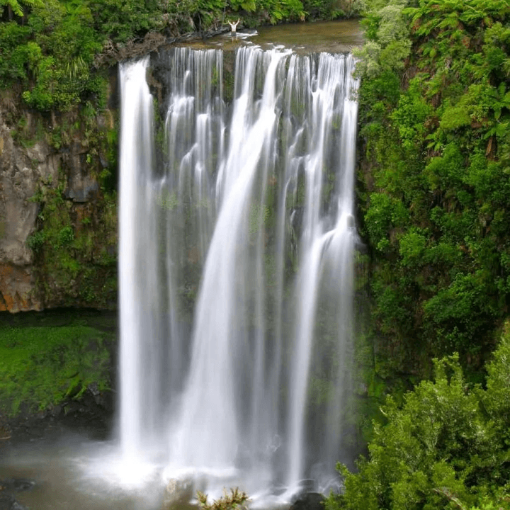
Ongarue River
The Ongarue rises in Pureora Forest flowing first through native bush and then over open farmland before joining the Whanganui River near the township of Taumarunui.
The upper reaches of the Ongarue River run through a mixture of native bush of the Pureora Forest and open farmland. The water in the section generally runs clean and trout can often be spotted lying in the pools or runs.
In the headwaters the river often remains very clear even when other rivers in the area are dirty after rain.
There is a major waterfall approximately 18kms along the Ongarue Stream Road (the Tinihanga Falls) that has a deep pool that holds good numbers of fish, especially late in the season when fish are trying to move upstream to spawn and are blocked by this natural obstacle.
Sorce: Pureora Forest
Length: 73km
Mouth: Whanganui River
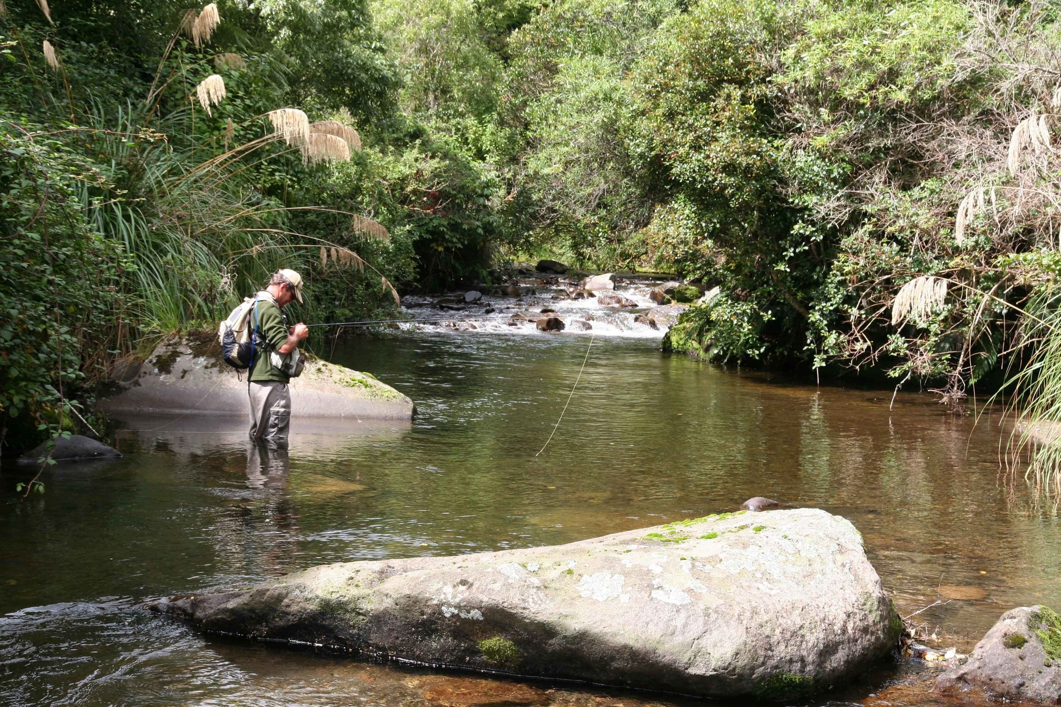
Waimiha Stream
The Waimiha Stream provides many kilometers of top quality dry fly and nymphing water for rainbow and brown trout. The Waimiha is a major tributary of the Ongarue River and rises in the Pureora State Forest joining the Ongarue River near the township of Waimiha. It is a major spawning stream for the Wanganui River system.
The Waimiha runs over a stone and gravel bed and provides the angler with wonderful water for dry fly or nymphing. In the upper reaches the water is generally very clear as it runs through native bush. Many people regard this water is one of the top dry-fly fishing waters in the North Island.
The headwaters of the Waimiha run alongside the Bennydale-Te Kuiti Highway. Until it runs into the Pureora Forest the width is quite narrow, it then reaches a size that will be of interest to anglers. The river in the section is a series of pools and long riffles that flow through native bush. A distance down from SH30 there is a large waterfall followed by a steep forested gorge.
Fishing Lakes
We also offer fully guided fishing experiences on Lake Otamangakau, Lake Kuratau and other local lakes. These lakes all provide anglers with the ultimate chance to bag that trout. Beginner to Advanced we can cater to every need. Make an enquiry today or get in touch for more information.